Agriculture Drone Software Development
We build custom agriculture drone software that helps agritech companies, farm operators, and drone service providers build, manage, and scale their drone operations. From precision spraying and field mapping to AI-powered crop analysis and livestock monitoring, our team delivers end-to-end drone software solutions tailored to your specific agricultural use case.
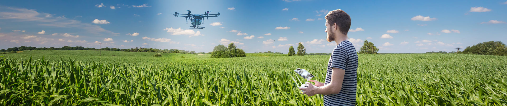
GET STARTEDCustom Agriculture Drone Software Development Services
Drones have transformed modern agriculture. From precision crop spraying and field mapping to livestock monitoring and yield analysis, drone technology is helping agribusinesses make smarter decisions faster. At NCrypted, we build custom agriculture drone software that helps agritech companies, farm operators, and drone service providers build, manage, and scale their drone operations.
With over 15 years of experience, 250+ successful projects, and deep expertise in UAV integration, our team delivers end-to-end drone software solutions -- from field mapping platforms and autonomous flight control systems to AI-powered crop analysis and variable rate spraying software.
Why Custom Drone Software Over Off-the-Shelf SaaS
Off-the-shelf drone platforms like DroneDeploy and Pix4D are great for basic mapping, but they force your operations to fit their mold. Here is why custom development wins for serious agritech companies:
- Built for Your Specific Workflows -- Your spraying patterns, field configurations, crop types, and reporting needs are unique. Custom software adapts to your operations, not the other way around.
- Full Ownership, No Subscription Lock-In -- Pay once, own your software. No recurring per-field, per-drone, or per-user fees that scale with your business.
- Seamless Hardware Integration -- Connect with DJI, Parrot, and custom drone hardware. Our software integrates with your existing fleet and sensors.
- AI and Analytics Tailored to You -- We build custom AI models for your specific crops, pests, and soil conditions.
- Scalable from Single Farm to Multi-Region Operations -- Start small and scale without hitting platform limits or tier upgrades.
Our Agriculture Drone Software Solutions
Drone Field Mapping and Surveying
Build high-resolution orthomosaic maps and 3D terrain models of agricultural fields using drone-captured imagery. Our mapping software supports automated flight planning, image stitching, and georeferencing for accurate field analysis.
- Automated flight path planning for field coverage
- Orthomosaic and 3D terrain model generation
- NDVI and multispectral image analysis
- GPS-based georeferencing and boundary mapping
Precision Crop Spraying Software
Enable variable rate spraying based on real-time field conditions. Our software integrates with DJI Agras and other spraying drones to apply pesticides, herbicides, and fertilizers with precision -- reducing chemical usage by up to 30% while improving coverage.
- Variable rate application based on field zone maps
- Real-time flow rate monitoring and adjustment
- No-fly zone and buffer area management
- Regulatory-compliant spraying logs and reports
Aerial Crop Scouting and Health Monitoring
Detect pest infestations, nutrient deficiencies, and disease outbreaks before they become visible to the naked eye. Our AI-powered crop scouting software analyzes drone imagery to identify problem areas and recommend targeted interventions.
- AI-based pest and disease detection from aerial imagery
- Nutrient deficiency mapping (nitrogen, phosphorus, potassium)
- Early warning alerts for crop stress zones
- Weekly progress tracking and comparative analysis
Livestock Management with UAV Integration
Monitor herd health, track animal locations, and manage grazing patterns using drone-mounted cameras and thermal sensors. Our livestock management modules integrate with UAVs to provide real-time insights into herd behavior and health.
- Thermal camera integration for fever detection
- Herd location tracking and grazing pattern analysis
- Automated headcount and health status reports
- Predator detection and alerting
UAV Data Processing and Analytics Platform
Process and analyze large volumes of drone-collected data with our cloud-based UAV data processing platform. From raw imagery to actionable insights, our platform handles the complete data pipeline.
- Cloud-based image processing and storage
- Big data analytics for multi-season trend analysis
- Custom dashboard and reporting tools
- API access for integration with farm management systems
Drone Fleet Management and Automation
Manage your entire drone fleet from a single dashboard -- including battery status, maintenance schedules, pilot assignments, and mission planning.
- Fleet status monitoring and battery management
- Mission planning and pilot assignment
- Maintenance scheduling and log tracking
- Automated flight log collection and analysis
AI and Computer Vision for Drone Agriculture
We embed artificial intelligence into drone software to deliver insights that go far beyond simple NDVI maps:
- Object Detection for Pest and Disease Identification -- Custom-trained computer vision models identify specific pests, diseases, and nutrient deficiencies from drone-captured imagery with accuracy rates exceeding 90%.
- Yield Prediction Using Machine Learning -- ML models analyze historical imagery, weather data, and soil conditions to predict crop yields weeks before harvest.
- Weed Detection for Targeted Spot Spraying -- AI models differentiate crops from weeds and generate precise spray maps for variable rate herbicide application -- reducing chemical usage by up to 40%.
- Thermal Analysis for Irrigation Management -- Process thermal drone imagery to identify irrigation inconsistencies, detect leaks, and optimize water distribution.
Our Technology Stack for Drone Software
- Drone SDKs: DJI Mobile SDK, DJI Onboard SDK, MAVSDK, PX4 Autopilot, ArduPilot
- GIS and Mapping: GDAL, QGIS, Leaflet, Mapbox, CesiumJS, PostGIS
- Computer Vision / AI: TensorFlow, PyTorch, OpenCV, YOLO
- Cloud: AWS (S3, Lambda, Greengrass), Azure, Google Cloud
- Frontend: React, Angular, Vue.js; Flutter, React Native
- Backend: Node.js, Python, Java (Spring Boot)
- Databases: PostgreSQL with PostGIS, MongoDB, InfluxDB
Hardware Compatibility
Our drone software integrates with a wide range of drone hardware and sensors:
- DJI Agras series (T30, T40, T50) for spraying operations
- DJI Mavic series (3E, 4E, 3M) for mapping and inspection
- DJI Phantom 4 Multispectral for NDVI analysis
- Parrot Bluegrass and Anafi USA
- Custom-built drones using Pixhawk and PX4 autopilot
- Multispectral sensors: Micasense RedEdge, Sentera
- Thermal cameras: DJI H20T, FLIR Vue Pro
Our Development Process
- Discovery -- Understand your drone operations, hardware fleet, and goals. 1-2 weeks.
- Architecture and UX Design -- Scalable system design with intuitive interfaces. 2-3 weeks.
- Agile Development -- Two-week sprints with regular demos. 8-12 weeks for MVP.
- Testing and QA -- Functional, performance, and security testing with real drone data. 2-3 weeks.
- Deployment and Training -- Cloud setup, team training, and go-live support. 1-2 weeks.
Industry Verticals We Serve
- Agritech companies building drone-based farming solutions
- Drone service providers offering aerial spraying and mapping
- Large-scale row crop farms (corn, soy, wheat, rice, cotton)
- Specialty crop farms (vineyards, orchards, berries)
- Livestock and dairy operations
- Agricultural research institutions
- Government agricultural extension programs
Frequently Asked Questions
How long does it take to build custom drone software?
A field mapping and NDVI analysis MVP can be built in 8-12 weeks. A full precision spraying platform with AI typically takes 4-6 months.
Can your software integrate with existing drone hardware?
Yes. Deep experience with DJI SDKs, MAVSDK, PX4, and ArduPilot. We also build custom ground station software for non-standard hardware.
Do you build mobile apps for drone operators?
Yes -- with mission planning, real-time flight monitoring, offline capability, and automatic data sync.
How much does custom drone software cost?
Field mapping MVP: $25,000-$50,000. Full precision spraying platform with AI: $75,000-$200,000+.
Can you help with regulatory compliance?
Yes. No-fly zone enforcement, geofencing, flight logging, and data privacy controls. DGCA, FAA, or local regulations.
Do you offer post-launch support?
Yes. Ongoing maintenance, feature development, hardware SDK updates, and scaling support.
Having difficulty submitting this request? Contact sales@ncrypted.com for a prompt response.